
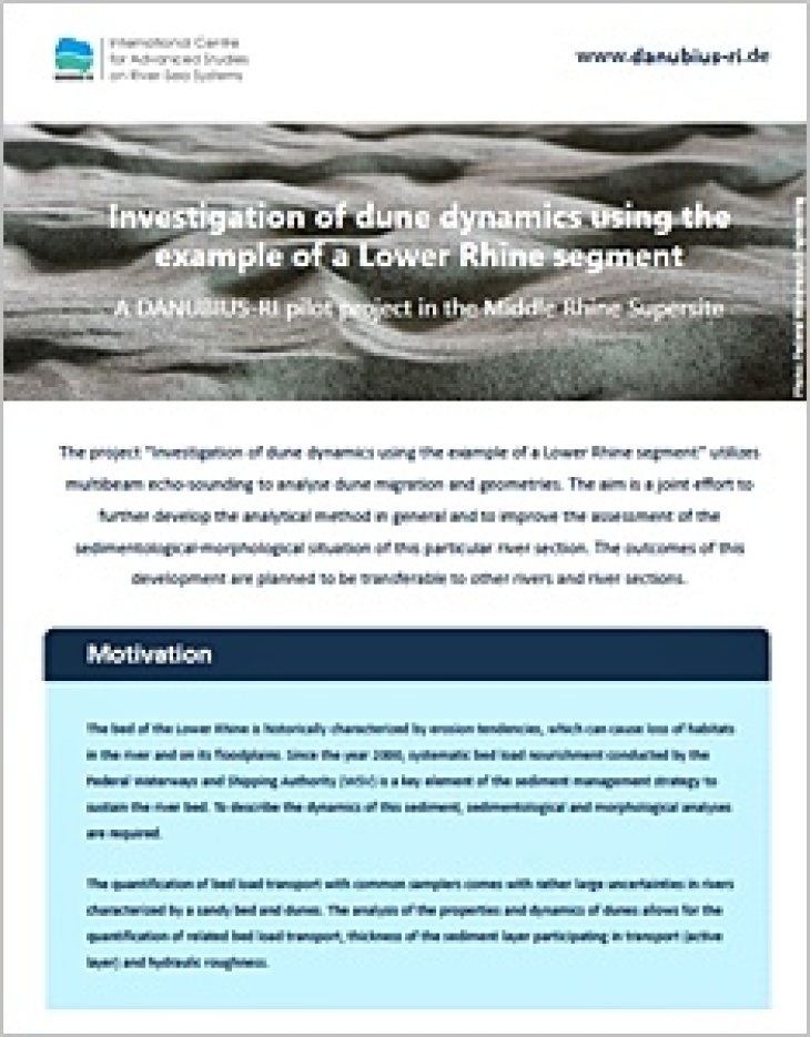
The project “Investigation of dune dynamics using the example of a Lower Rhine segment” utilizes multibeam echo-sounding to analyse dune migration and geometries. The aim is a joint effort to further develop the analytical method in general and to improve the assessment of the sedimentological-morphological situation of this particular river section. The outcomes of this development are planned to be transferable to other rivers and river sections.
Motivation
The bed of the Lower Rhine is historically characterized by erosion tendencies, which can cause loss of habitats in the river and on its floodplains. Since the year 2000, systematic bed load nourishment conducted by the Federal Waterways and Shipping Authority (WSV) is a key element of the sediment management strategy to sustain the river bed. To describe the dynamics of this sediment, sedimentological and morphological analyses are required.
The quantification of bed load transport with common samplers comes with rather large uncertainties in rivers characterized by a sandy bed and dunes. The analysis of the properties and dynamics of dunes allows for the quantification of related bed load transport, thickness of the sediment layer participating in transport (active layer) and hydraulic roughness.
Methods
")
Measuring ship of the WSV with a triple-head multibeam echo-sounding system and exemplified river bed sounding (Photo: Federal Institute of Hydrology)
Data from multibeam echo-sounding as basis of the analysis provide bathymetric insights and allow for the identification and geometric determination of individual dunes, through continued analyses using specific tools. The dynamics of these dunes can be described and bed load transport quantified by conducting multiple sounding repetitions within short time intervals. The different methods and tools, which are used for data collection and analysis of these multiple soundings can be summarized under the term “Dune-Tracking”.
")
3D riverbed elevation model with coloured slip faces of dunes. Measurements conducted by the Waterways and Shipping Administration Rhein (Image: Federal Institute of Hydrology)
The data collected through echo-sounding and the respective analysis tools can be made available to users for scientific purposes. The aim is to enable the data analysis using the tools provided, or the tools the users developed themselves. The latter is in order to compare different analytical tools and methods to optimize the overall methodology.
Further information regarding Dune-Tracking and data sets from other rivers can be found under Marine and River Dune Dynamics
Further information regarding the access to data and tools will be available shortly.
Federal Institute of Hydrology
The project profile of Dune Dynamics investigations at the Lower Rhine as a flyer in pdf format:
Project Profile Dune Dynamics Lower Rhine (1,2 MB)